Nature · Culture · Active
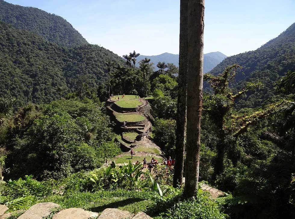
Lost City trek
Four days of rainforest and 1,200 stone steps up to the Tayrona sacred city.
3 or 4 nightsDifficulty: Challenging
Ask for rates
Unesco Biosphere Reserve
The highest coastal mountain on earth: from the beach to 5,775 metres in barely 42 kilometres, and the territory of four indigenous peoples who consider it the heart of the world.
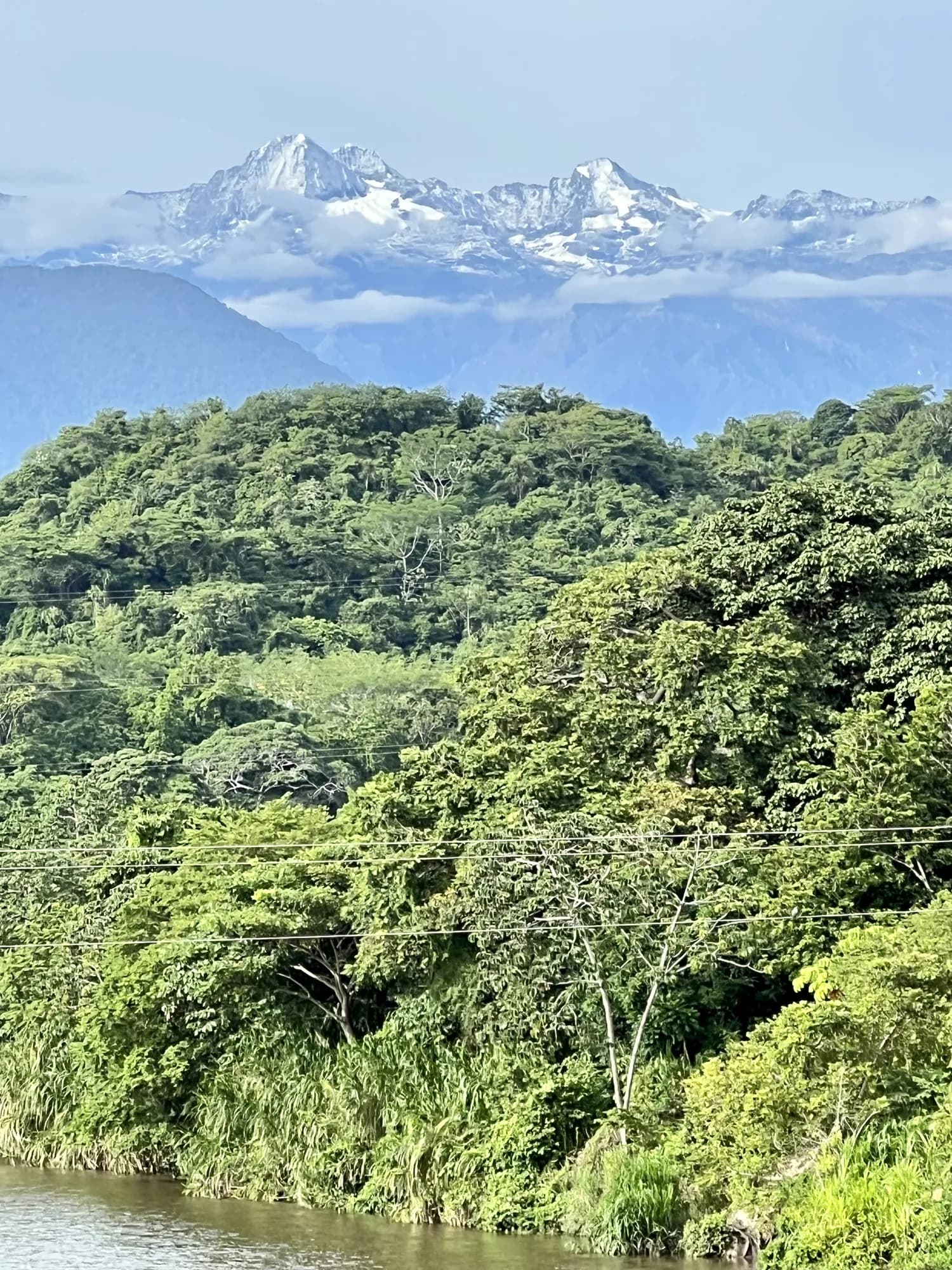
The Sierra Nevada de Santa Marta is a geographic anomaly. It is not part of the Andes: it is an isolated triangular massif that rises straight out of the Caribbean Sea to the 5,775 metres of the Colón and Bolívar peaks, the highest summits in Colombia. Those 5,775 metres sit just 42 kilometres from the beach, which makes it the highest coastal mountain on the planet.
That isolation had an enormous biological consequence. Cut off from the main cordillera, the Sierra evolved on its own, and today it holds the highest number of continental endemic bird species in the world: birds found nowhere else on earth. In a single day you can cross every thermal zone, from tropical dry forest to páramo and glacier. Unesco declared it a Biosphere Reserve in 1979.
But what makes the Sierra unique is not only its biology. It is the ancestral territory of four indigenous peoples — Kogui, Wiwa, Arhuaco and Kankuamo — direct descendants of the Tayrona culture, who have lived here without interruption for more than a thousand years. To them the Sierra is the heart of the world, and their work as Elder Brothers is to keep it in balance. The Línea Negra, a perimeter of sacred sites encircling the mountain, marks that territory and is recognised by the Colombian state.
Travelling here means entering a place that is still alive and in use, not a theme park. That distinction changes entirely how it should be visited.
A Tayrona settlement built around the eighth century, six hundred years before Machu Picchu, with stone terraces stepped into the hillside. It stayed swallowed by the jungle until 1972. The only way in is on foot: four or five days there and back, crossing the Buritaca River several times and sleeping in camps. It remains a site of indigenous ceremonies.
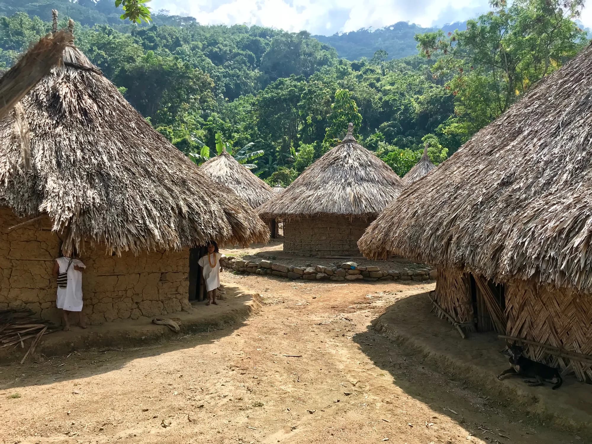
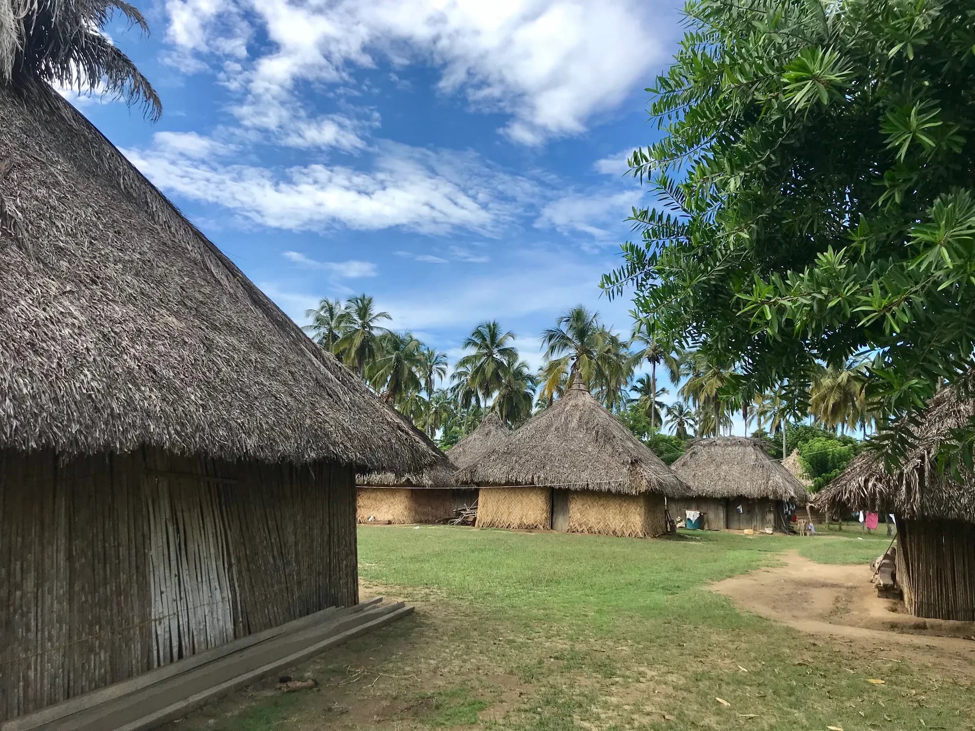
Seyviaka and Mulkwakungui are Kogui settlements; Katanzama is Arhuaco. You visit with a guide and with the community's permission, on foot. These are not staged displays: you enter the houses, share lunch and talk with the families. Part of the value of each visit stays with the community.
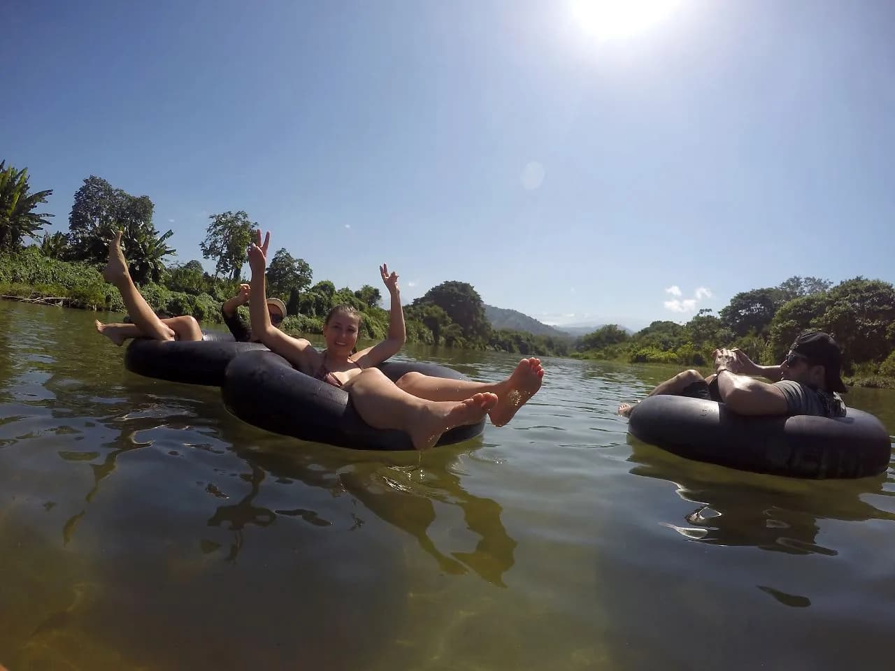
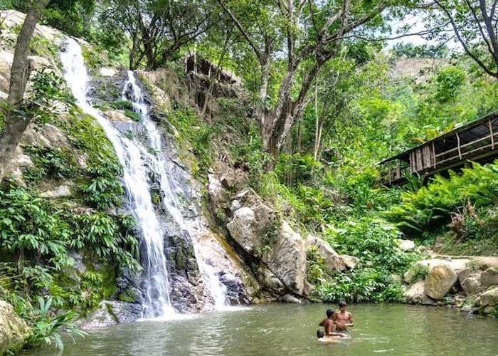
The Don Diego is born in the snowfields and reaches the Caribbean six kilometres east of La Jorará. The Buritaca emerges as a waterfall near the Lost City. The Palomino runs down to the town of the same name. This is cold mountain water at sea level, and you can swim in all of them.
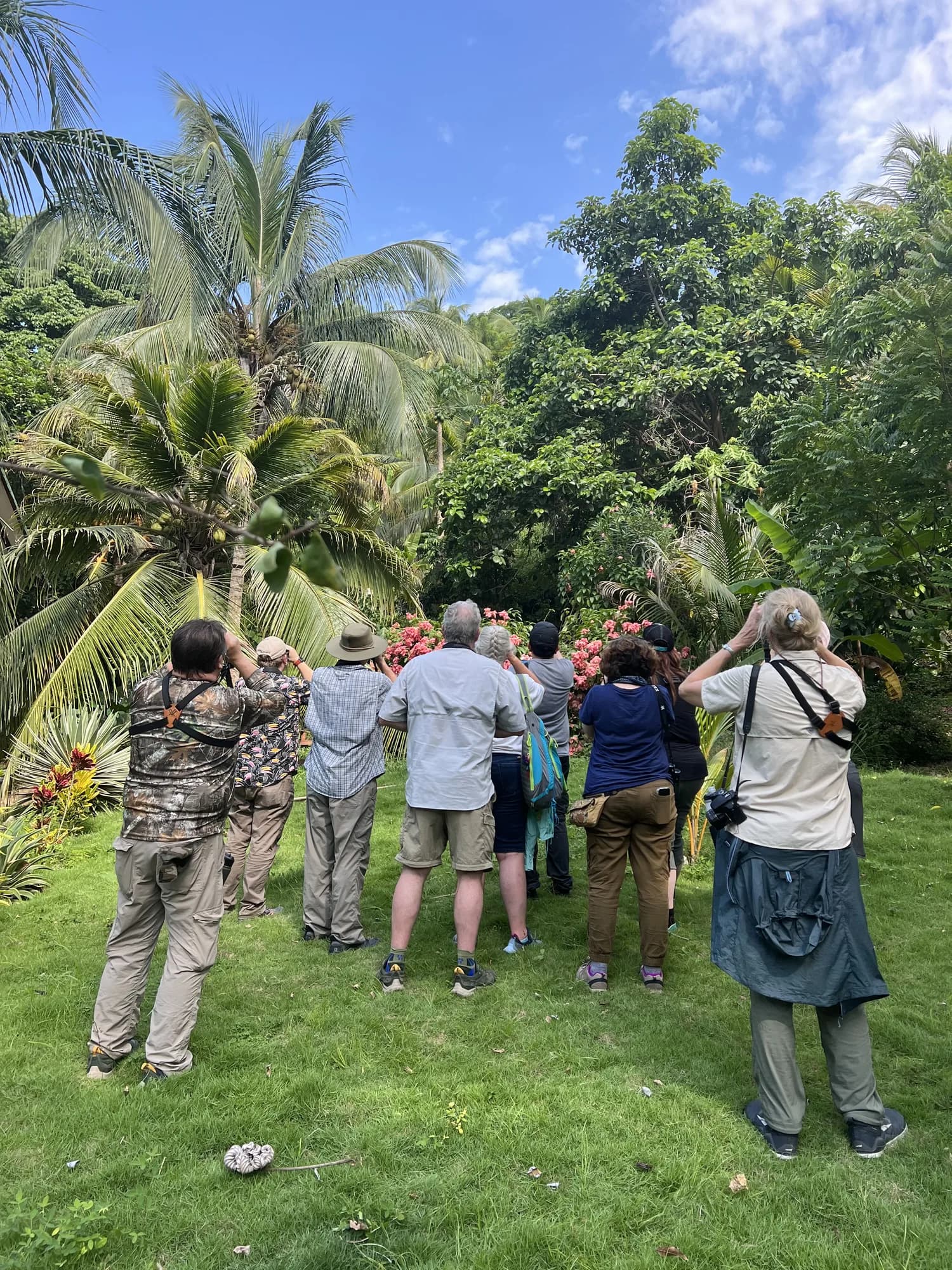
The Sierra is one of the most coveted birdwatching destinations in the world, precisely because of its level of endemism. The low foothills — where La Jorará sits — and the heights around Minca are the two easiest points of access, each with different species thanks to the altitude gap.
Three or four nights in the foothills is enough to combine the beach, a river, an indigenous community and Tayrona Park. The Lost City trek is a further four or five days and is best treated as a trip of its own, not an excursion inside another plan.
The tourist corridors on the northern slope — Tayrona, Don Diego, Palomino, Minca and the Lost City route — are well established and travelled normally. The sensible approach is to move with local operators, not to improvise routes inside indigenous territory, and to tell someone where you will be, since there are stretches with no signal.
Yes, but it takes luck and an early start. On clear mornings in the dry season, between December and March, the Colón and Bolívar peaks appear above the mountain from the coast. By midday they are almost always under cloud.
Nature · Culture · Active
Four days of rainforest and 1,200 stone steps up to the Tayrona sacred city.
Culture · Community · Regenerative
A day in the Kogui village of Seyviaka, with the mamo's family, upriver from Palomino.
Culture · Community · Regenerative
Arhuaco territory: traditional architecture, medicinal plants and a sacred pool.
Nature · Active · Community
Float down from the mountain to the Caribbean Sea, among howler monkeys and birds.
Nature · Wellness
The Sierra Nevada has more endemic birds than any massif on earth. The estate is a good place to see them.
Active · Nature
Ride past rivers, beaches, waterfalls and villages between Tayrona and the Sierra.
La Jorará Eco Hotel · Sierra Nevada de Santa Marta
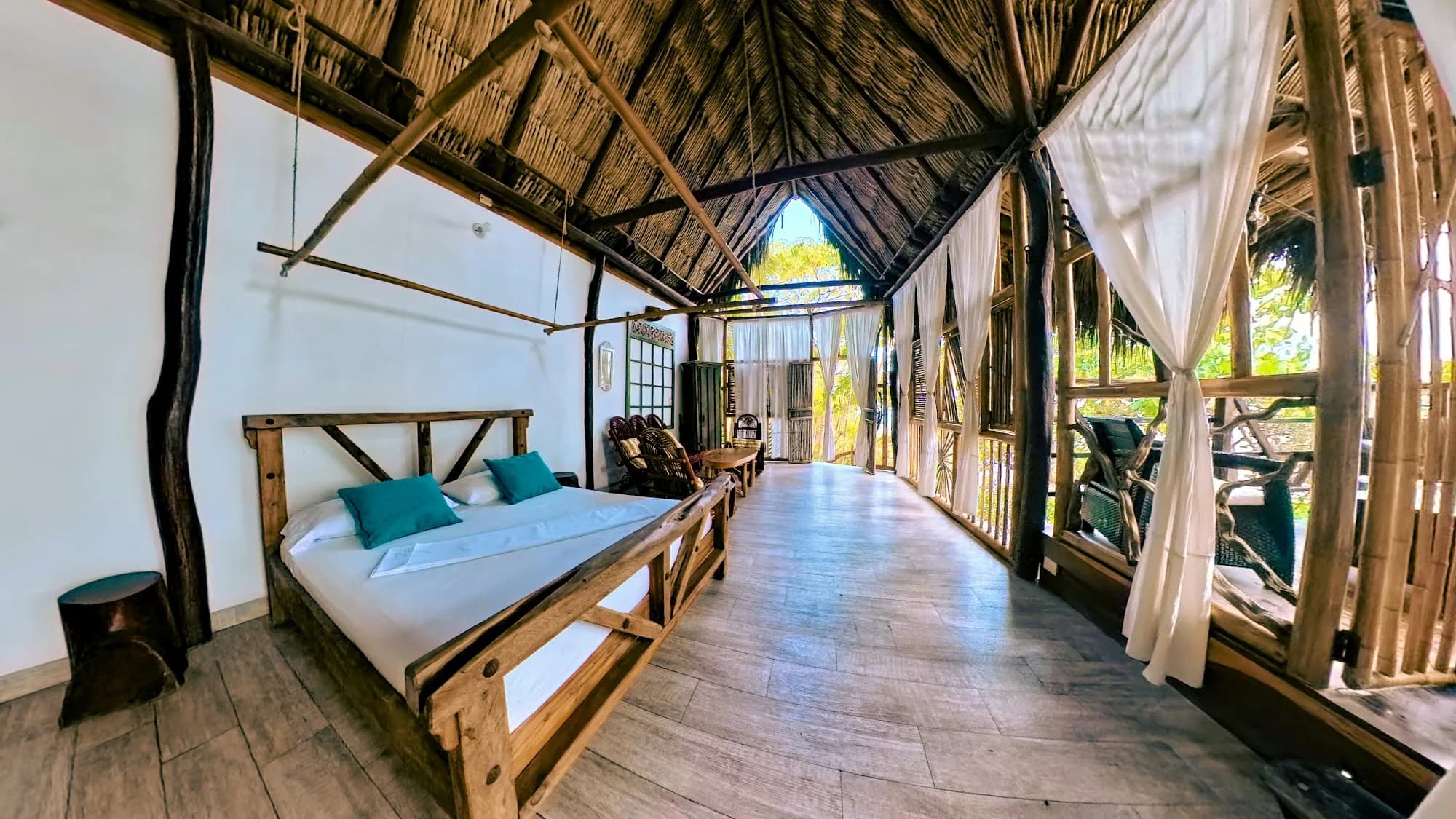
A cabin facing the Caribbean, with the sound of the sea in front and the Sierra Nevada behind.
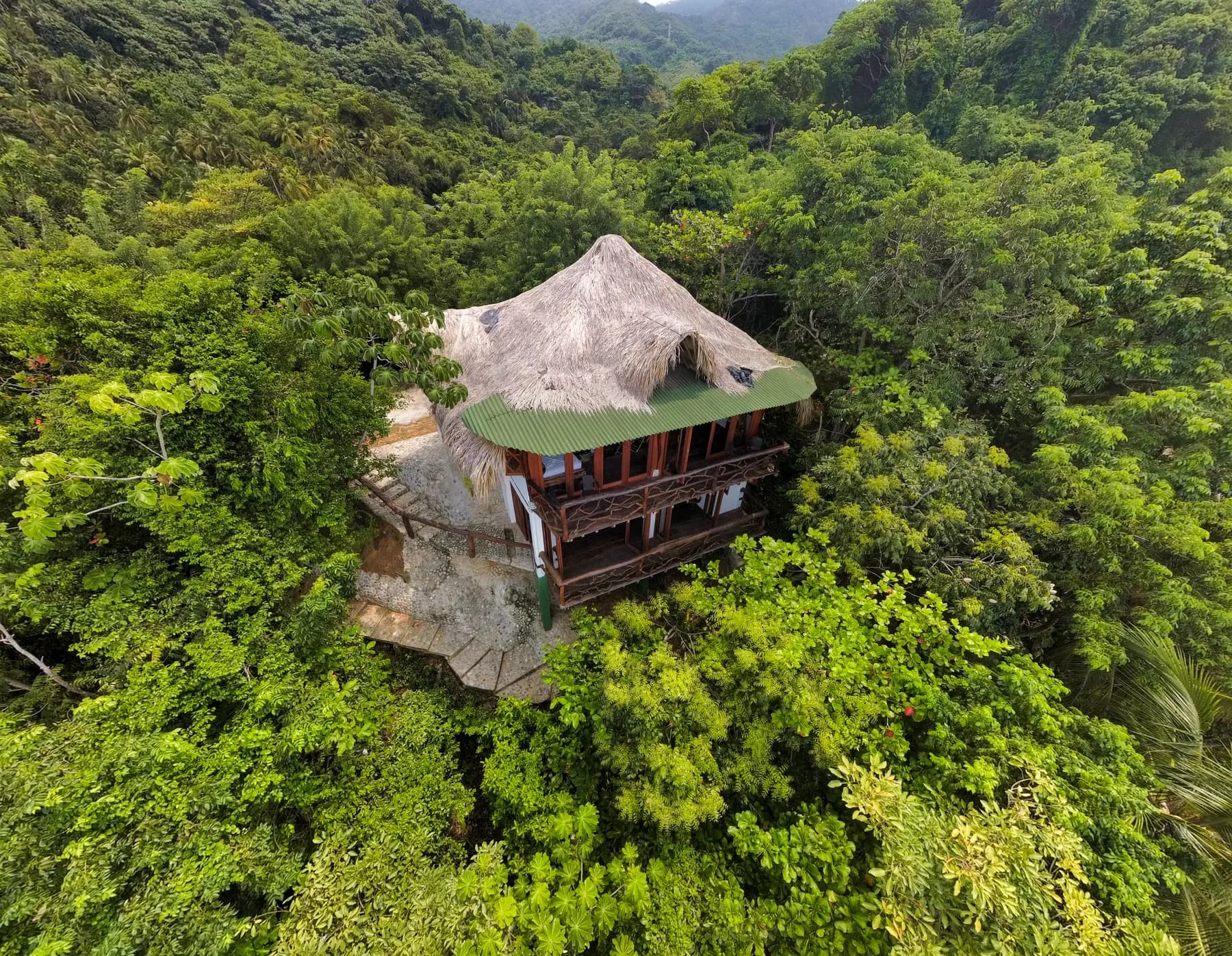
La Jorará Eco Hotel · Sierra Nevada de Santa Marta
High on the headland, looking out over the Caribbean and the Sierra Nevada rainforest at once.
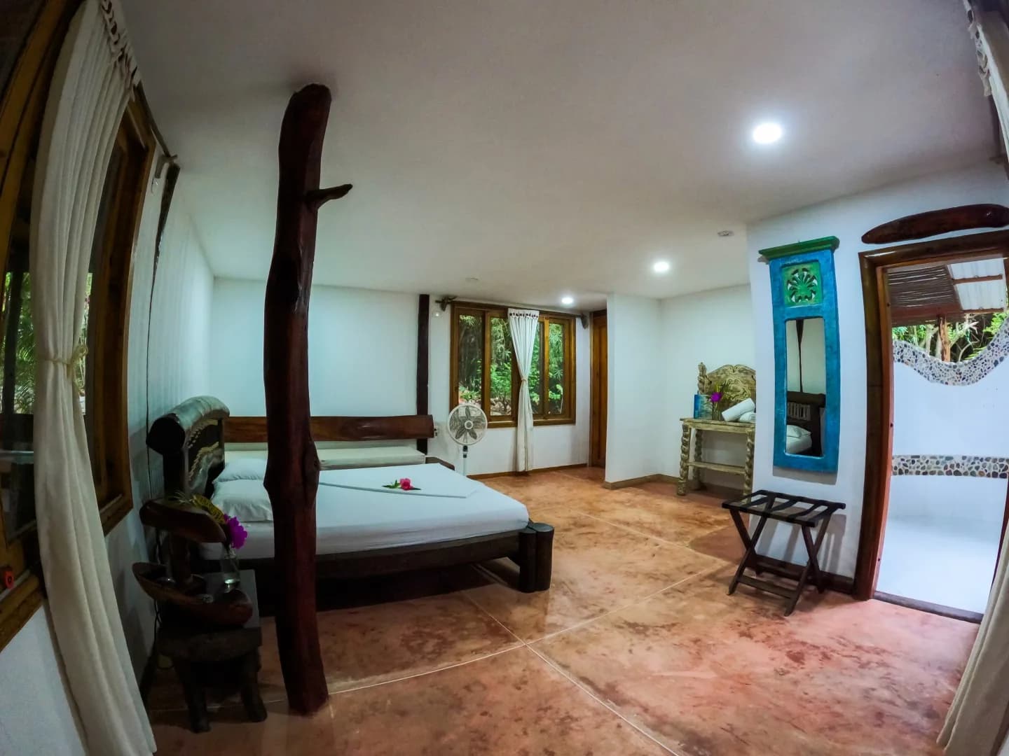
La Jorará Eco Hotel · Sierra Nevada de Santa Marta
A suite in the all-timber Aluna cabin, lulled by the sound of the Jorará waterfall.
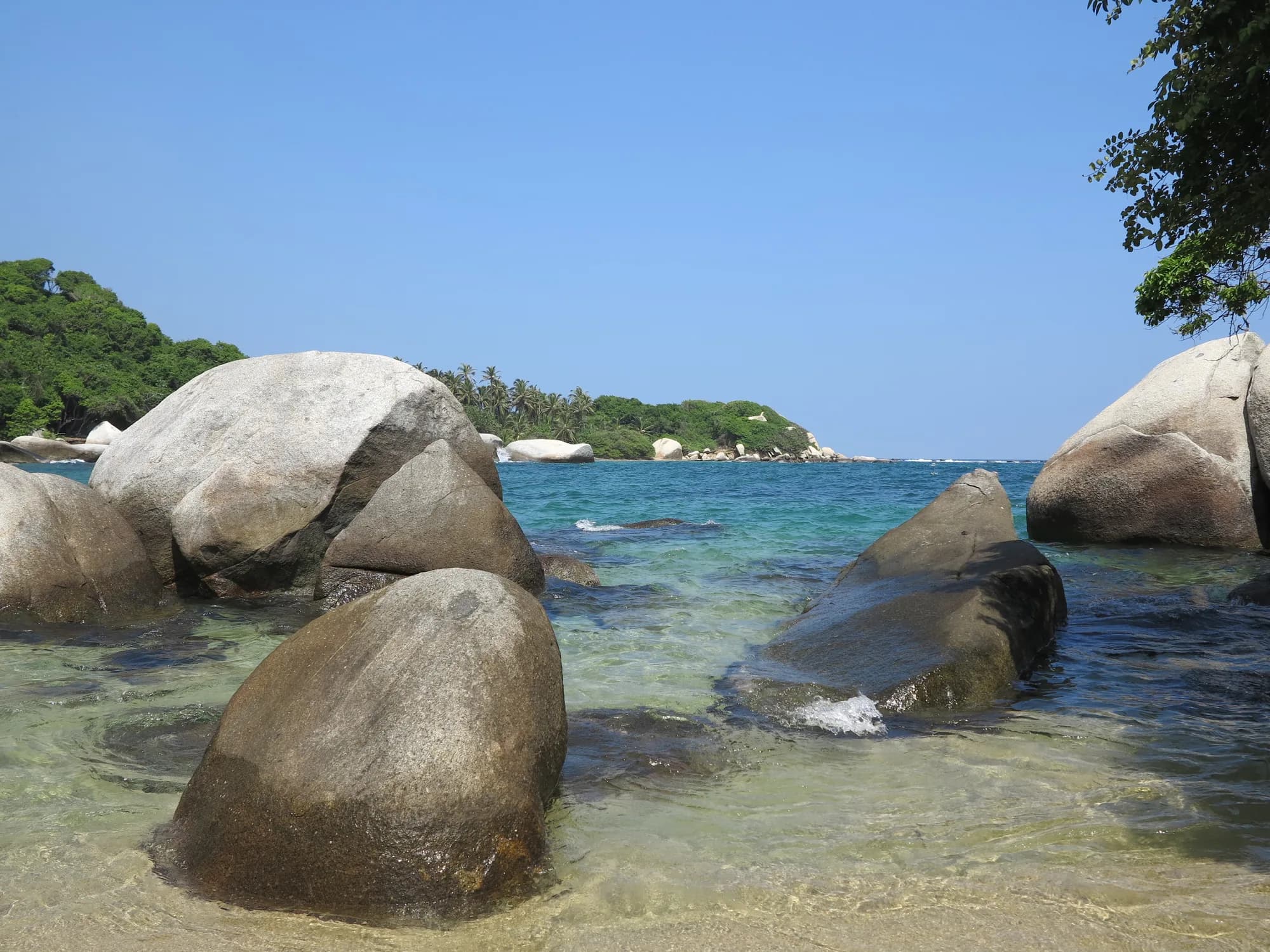
National natural park
White-sand bays between giant boulders and tropical dry forest, where the Sierra Nevada drops straight into the Caribbean.
2 experiences here
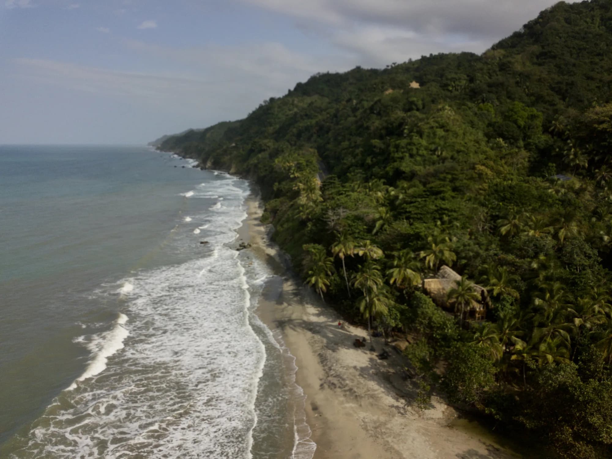
Our home
Km 62.5 on the Santa Marta – Palomino road: a private beach, a natural mountain-water pool and a fruit plantation, between Tayrona Park and Palomino.
7 experiences here
Mountain coffee village
Forty-five minutes from Santa Marta and 600 metres higher: coffee, cold-water falls, endemic birds and the cool air the coast does not have.
2 experiences here