Nature · Culture · Community
Punta Gallinas and Cabo de la Vela
The northern tip of South America: dunes, cliffs and nights in a Wayuu chinchorro.
2 nights / 3 daysDifficulty: Moderate
Ask for rates
The northern tip of South America
Desert ending in cliffs above the Caribbean, dunes that fall onto the beach, and Wayuu territory, at the northernmost point of the continent.
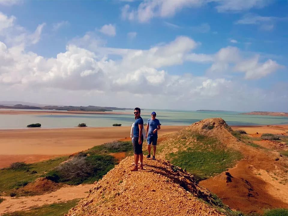
The Alta Guajira is the corner where South America runs out. Punta Gallinas is literally the northernmost point of the continent: plateaus, dunes and rocky cliffs rising from the sea and embracing Hondita Bay, with exotic beaches and belts of mangrove.
The landscape looks like nothing else in Colombia. It is real desert — cactus, goats, sand and constant wind — that suddenly opens onto a turquoise sea. At Taroa the dunes fall straight onto the beach; at Cabo de la Vela the Pilón de Azúcar rises above golden sand and the lighthouse delivers one of the country's most memorable sunsets.
All of this is Wayuu territory, the largest indigenous people in Colombia. Life here is woven around fishing, herding, the making of mochilas and chinchorros, and a social organisation of its own that remains in force. You do not visit the desert without engaging with that: you sleep in the communities, eat what they prepare and travel with Wayuu drivers and guides.
This needs saying plainly: it is a demanding adventure route without the comforts of conventional tourism. Those who understand that before setting out come back delighted.
The northern tip of South America, marked by a lighthouse on the cliffs. Around it, Hondita Bay, Puerto Bolívar, Punta Soldado, and a sense of world's end that is hard to explain until you are standing in it.
Sand dunes that drop straight into the sea. You climb up on foot and come down running or sliding all the way to the shore. It is the most photographed landscape in La Guajira, and deservedly so.
A Wayuu fishing village facing the sea, the classic base for the route. Here are the Pilón de Azúcar with its golden-sand beaches, the Kamaichi hill — a sacred Wayuu site — and the lighthouse, where everyone goes to watch the sunset.
Evaporation ponds producing a good share of Colombia's salt, with white mountains against the sky. You pass through on the way to the Cabo, along with Uribia, considered the country's indigenous capital.
Two nights and three days is the standard format for reaching Punta Gallinas without rushing. There is a one-night, two-day version that only reaches Cabo de la Vela, good if time is short but it leaves out the Taroa dunes and the northern tip.
The tourist route is well established and travelled normally, always with local operators and drivers. What you should not do is venture out on your own in a private car: the distances are long, the tracks are unmarked, there is no signal for much of the way, and the territory has its own rules of access.
In Wayuu rancherías, in a chinchorro or in simple cabins with beds, depending on the operator and availability. It is basic accommodation, with no air conditioning and limited power. It is part of the experience, and the reason the money from the trip stays with the communities.
Nature · Culture · Community
The northern tip of South America: dunes, cliffs and nights in a Wayuu chinchorro.
Nature · Culture · Community
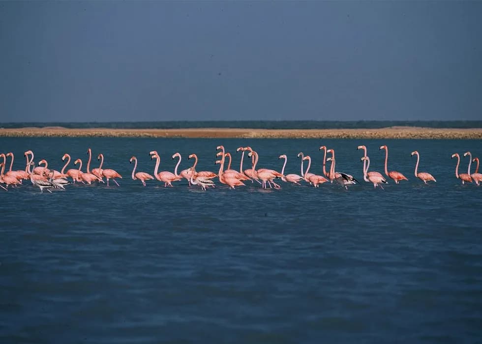
Pink flamingos from a dugout canoe and a day with a Wayuu family at their ranchería.
Flora and fauna sanctuary
Coastal lagoons where Colombia's pink flamingos gather, explored by Wayuu dugout canoe, at the gateway to La Guajira.
1 experience here
Beach and river town
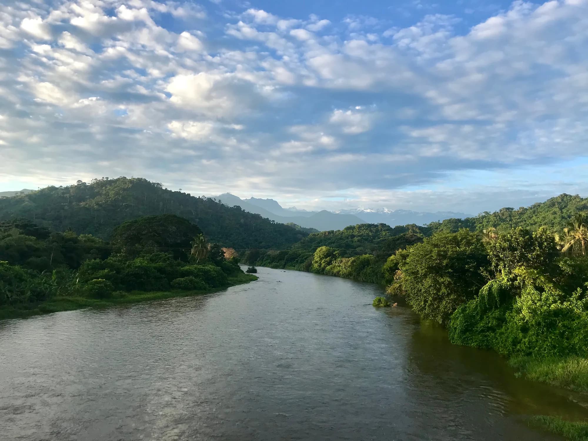
Where the Sierra Nevada reaches the sea to the east: a long beach, a cold river off the glacier and the gateway to Kogui territory.
3 experiences here
Our home
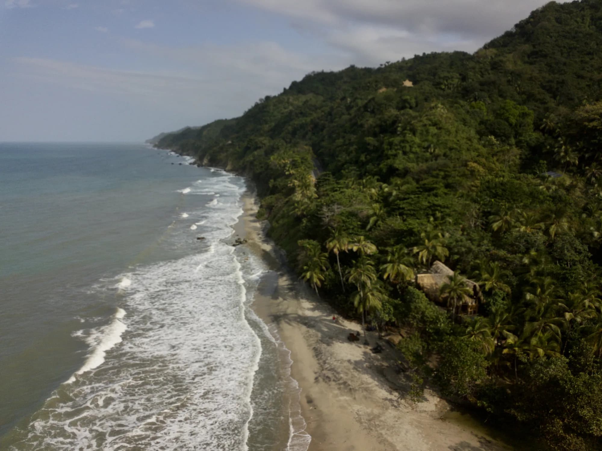
Km 62.5 on the Santa Marta – Palomino road: a private beach, a natural mountain-water pool and a fruit plantation, between Tayrona Park and Palomino.
7 experiences here